
Columbia Neighbors Block Records
Public sources answer different questions about a Columbia block. A map can show parcel context, TPAD identifies tax and property details, and recorded deeds document transfers. Voter tools are designed for a named voter or address-related polling and district information, not a public list of every person on a block. Columbia’s Neighborhood Watch program is a public participation contact, not a membership database. Treat each source as evidence for its own limited purpose.
| Columbia source | What it can show around a block | Documented access |
|---|---|---|
| TNMap Property Map Viewer | Maury parcel-line context around a location | State map entry point |
| TPAD property roll | Owner, tax mailing and situs fields, parcel ID, sale, and assessment details | Free search or Maury Assessor office |
| Register of Deeds | Transfer parties, legal description, and past ownership clues | TitleSearcher, counter, or historical archive route |
| GoVoteTN | Address-based polling place and district information | Street address and ZIP input, not a block roster |
| Columbia GIS | City limits, wards, historic districts, zoning, flood, and aerial context | City mapping page and public map links |
| Neighborhood Watch | How residents can meet and coordinate with law enforcement | Public C.O.P.S. contact route |
An owner can receive tax mail elsewhere. A person at an address may not own the parcel. Keeping those roles separate is the most important check when comparing nearby records.
Columbia Neighbors Parcel Records
Tennessee Property Assessment Data, or TPAD, is the county property-roll entry point. Select Maury County and search a property address, owner name, or parcel ID. The advanced form also accepts subdivision, classification, sale dates, control map, group, and parcel components. Its result headings can include owner, property address, control map, group, parcel, parcel ID, subdivision, lot, class, and sale date.
A parcel detail can separate Jan. 1 owner, current owner, mailing address, and property or situs address. The mailing field is a clue to the address used for tax correspondence. It is not an assertion that the owner occupies the Columbia parcel. The situs address says where the land is located. Preserve the control-map, group, parcel, and legal-description references before comparing nearby land records.
- Parcel
- A mapped unit of land used in assessment and tax administration.
- Situs address
- The physical location attached to the parcel, as distinguished from a tax mailing address.
- Legal description
- The recorded land description, such as a lot, block, subdivision, survey, or metes-and-bounds call.
- Adjoining owner
- A person or entity identified in a land record as holding land next to the described tract.
Mapping Columbia Neighbors
The parcel-to-adjacent-owner workflow uses the map as a navigation aid and TPAD and deeds as record checks. The research did not verify a live TNMap or ArcGIS adjacent-parcel, buffer, measure, or neighbor-selection control. Do not assume such a control is available or that a visible map line is survey-grade. Instead, identify the address and the surrounding parcel lines displayed by the public map, record the parcel or control-map identifiers available, and confirm each separate property record in TPAD.
The TNMap Property Map Viewer is the documented state entry point for Maury parcel-line context.
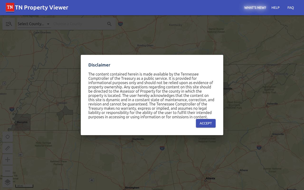
The viewer can orient a Columbia block around parcel lines, while the assessor record and deed remain the sources to verify an owner and land description.
- Locate the starting address in the TNMap Property Map Viewer or use the Columbia map links for parcel context.
- Compare the parcel lines immediately around that address and record the identifiers the map or assessor result supplies. Do not rely on an unverified radius or adjacency tool.
- Search each identified parcel in TPAD. Separate the owner, tax mailing, and situs fields for every result.
- When ownership history matters, obtain the recorded deed and compare its legal description and adjoining-owner references.
- Use the Columbia street directory when the question expands from one block to a full named street and its address-keyed records.
This process avoids a common shortcut. A visual boundary locates a parcel in context, but the property roll and recorded instrument are the sources that identify tax ownership and the land description.
Columbia Neighbors GIS Records
Columbia GIS Mapping says the city receives parcel, address, and street datasets from Maury County. Its listed layers add city limits, wards, historic districts, zoning, flood areas, aerial imagery, terrain, streets, pavement information, and development approvals. These layers can help explain whether nearby parcels share a ward, historic-district setting, flood context, or city-limit status. They do not convert a map view into proof of a household.
The Columbia GIS layers page identifies the city map context available for neighborhood research.
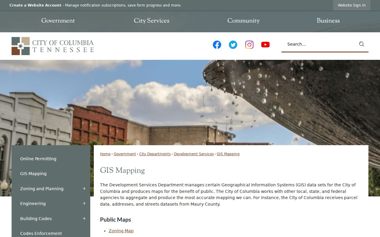
The map layers are most useful after a parcel ID is known, because they add civic and physical context without replacing the assessor record, deed, or legal survey.
Columbia’s five wards are civic districts, not ownership or postal boundaries. Likewise, a historic-district or flood layer is context for the block, not evidence that every nearby person shares a common address or status.
Columbia Neighbors in Historic Maps
Sanborn maps add a historic layer to block research. Verified Columbia holdings have four sheets from 1887, 12 from 1895, 24 from 1909, and 27 from 1914. The growing sheet counts reflect the mapped coverage available for those editions, not a count of residents or parcels. A sheet can show a structure’s footprint, materials, use, and street pattern when a deed describes a tract or an older address needs context.
The Library of Congress 1909 Columbia Sanborn map is one of the documented public scans. Read it alongside a parcel, deed, and directory year. It can help place a building on a block, but it cannot prove who occupied it.
Columbia Voter Lookup Limits
GoVoteTN offers search by voter name and optional ZIP, or search by street address and ZIP. The address route is for sample ballot, polling place, elected-official, and district information. Help instructs users to enter the address as it appears on the registration card and states that the tool does not contain property-rights voter information. It does not advertise a return of all voters at a Columbia address or on a block.
The Tennessee voter registration lookup requires county, first name, last name, birth month, and birth year, making it better suited to checking a named registration than walking a street. Full voter lists and compiled voter history have separate statutory process and political-purpose certification requirements under T.C.A. § 2-2-138. The ordinary lookup is not a route to build a list of households on a Columbia block.
Note: Voter records have their own access rules, and a polling or district result does not confirm ownership or ordinary household membership.
Columbia Address Records and Activity
Columbia One Stop accepts a basic address, licensed-contractor, license-holder, reference-code, permit, license, or case search. Advanced options include description keywords, council district, type, and application-date range. Approved documents can be downloaded and result sets can be exported up to 200. The public Code Enforcement map covers recent two-month status categories. These are address-history and civic-context sources, not a residence list.
Permit applicants can be owners, agents, or contractors. A case record can describe a property condition or process. Neither record establishes that a named person lived at the Columbia address. Use the date, property address, and permit or case number to ask the appropriate city office about an existing record.
Columbia Neighborhood Watch Contact
Columbia’s Neighborhood Watch program says residents can meet regularly and coordinate with law enforcement. It is a route to ask about participating in a neighborhood effort, not a directory of current members, contacts, homes, or a list of people on a Columbia block. The public program contact below is the appropriate starting point for program information.
The official Columbia Neighborhood Watch page provides the public program information.
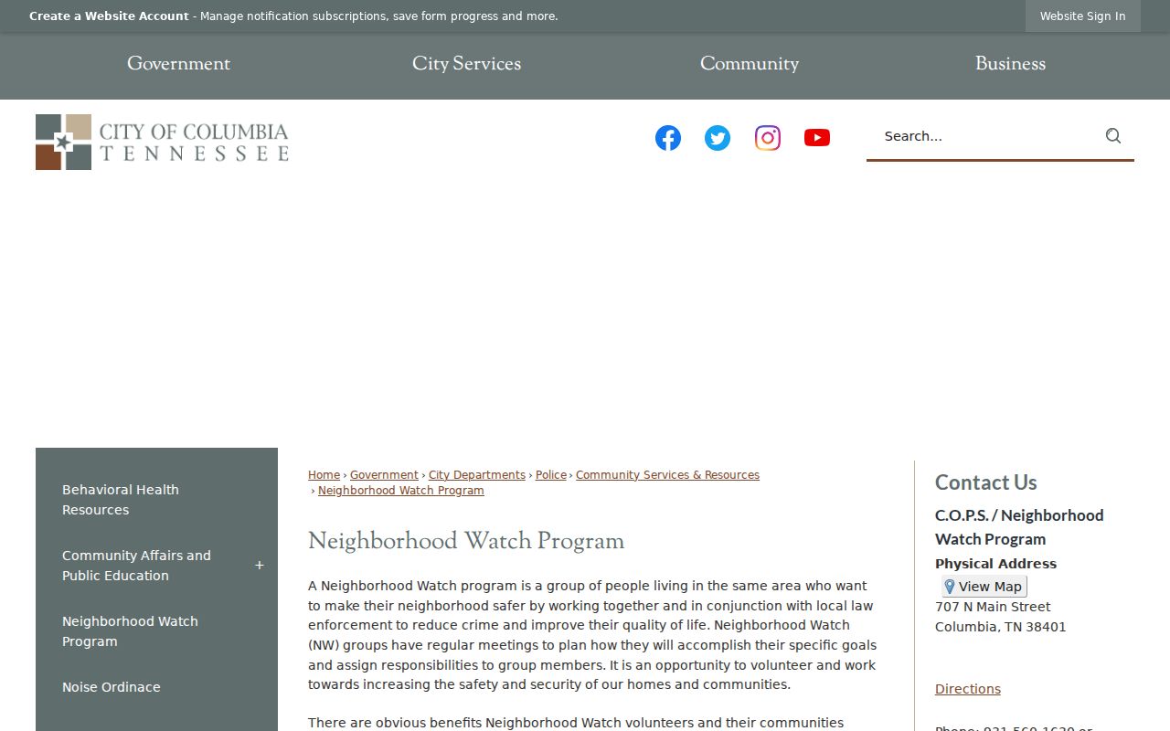
The program is about voluntary participation and coordination, so it should not be treated as evidence that a person belongs to a group or lives at an address.
Neighborhood Watch Public Contact
C.O.P.S. / Neighborhood Watch
707 N Main Street
Columbia, TN
931-560-1647 or 931-560-1630
Public contact for program participation information. It is not a membership roster.
Columbia Block Records Compared
Official records and unnamed commercial neighbor tools answer different questions and have different limits. An official record can be dated, tied to an identified custodian, and checked against the underlying parcel, deed, or election rule. Commercial services may combine fragments from public filings and other sources, which can produce stale, mixed-person, or incomplete results. A report from that category is not a substitute for the Maury source record.
| Source type | Useful role | Important limit |
|---|---|---|
| Official assessor, recorder, or map source | Parcel, tax ownership, deed, and civic-map context | May identify an owner, not every occupant |
| Official election or community contact | Polling context or a participation route | Not a block roster or membership list |
| Commercial neighbor tool category | A lead to verify independently | May mix people, dates, and sources; no substitute for the custodian record |
If a record held by a commercial service is wrong, its removal process does not correct the Maury deed, TPAD, voter, or city source. Ask the actual custodian how to correct its underlying record.
Columbia Neighbors Privacy Limits
What remains private is as important as what a block map can show. Non-owner household members may not appear in property records. Utility customer data, delivery records, protected DMV address data, and a person who merely visits or receives mail are not ordinary public lookup results. Tennessee Safe at Home provides a substitute-address program for qualifying victims and does not erase every older record, but protected program information is not a neighborhood research source.
The Tennessee Information Protection Act, T.C.A. Title 47, Chapter 18, Part 33, provides qualifying consumers with certain rights concerning covered business-held personal information. It does not erase public deeds, voter rolls, or other records that another law requires a government office to disclose. For a public-record request, Tennessee citizens may seek an existing record from the correct custodian under the Tennessee Public Records Act, T.C.A. §§ 10-7-501 et seq.; the office need not create a new block list.
Lawful use. Columbia block research is for property context, civic awareness, and personal curiosity. Do not use public information to follow, monitor, harass, intimidate, or repeatedly contact another person.