
Trace a Columbia Street by Address
A street-by-street search in Columbia begins with land records, then tests a person clue separately. TPAD can return current ownership and parcel data for a whole street-name search. A recorded deed connects that parcel to a legal description and prior transfer. GoVoteTN can help only after there is a named voter or a particular address for polling and district information. Historical directories and archive files supply dated context when the question reaches beyond the current roll.
- Enter the address, or just the street name, in Maury County’s TPAD search. Sort a broader result set by Property Address.
- Record the property’s situs address, owner field, control map, group, parcel, subdivision or lot, and the tax-year or data-updated label.
- Use a Columbia GIS map or TNMap as visual context for the parcel, then confirm the parcel identity in TPAD rather than relying on a map boundary alone.
- Search the current owner or grantee in the Register of Deeds. Read the deed’s legal description, grantor, date, and book or page reference.
- When a person’s name is independently known, use the voter lookup for named registration confirmation. Do not expect a street-wide voter roster.
- For an earlier household, compare directory years, street spelling, nearby intersections, and Maury Archives files before treating an old number as the same parcel.
Note: A Columbia address is a starting point, not a complete household list, because ownership, mail delivery, voter registration, and physical presence are separate facts.
Search Columbia Streets in TPAD
Tennessee Property Assessment Data is the Maury property-roll entry point for a Columbia street directory. Select Maury County, then enter a property address, owner, or parcel ID. For a long Columbia street, the basic street-name search can be narrowed with subdivision, classification, sale date, or parcel components. The results display owner, property address, map and parcel parts, subdivision, lot, class, and sale date. Successive narrowed results can be exported, but retain the displayed tax year and update date with each set.
The TPAD entry screen is the source for the property search shown here.
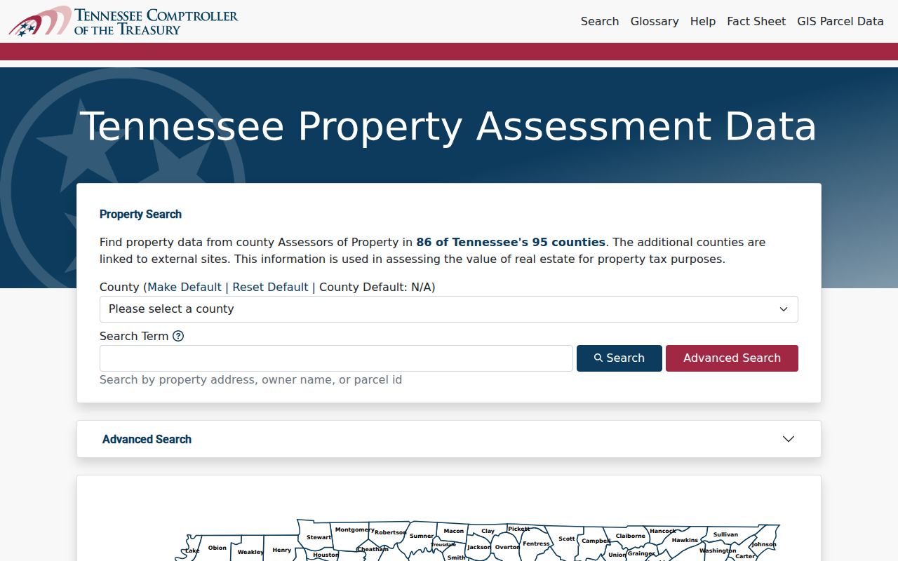
The image shows the county and property-search entry point. A Columbia result can establish a tax or ownership connection, but an owner field should not be relabeled as the present person at a street address.
Columbia Street Directory Parcel Fields
TPAD requires a county and at least one criterion. Its exact observed fields allow an address search to grow into a repeatable Columbia parcel search. The parcel components are particularly useful when a street label changes form across a map, a deed, or a tax result. Enter only the details supported by the known record, then use more criteria to narrow rather than guessing a complete parcel number.
| Field label | Type | Required | Observed format or use |
|---|---|---|---|
| County | Dropdown | Yes | Select Maury, jurisdiction 060 |
| Owner | Text | No | Try a full name or initial variation |
| Property Address | Text | No | Street number is optional; “Main St” is the help example |
| Subdivision Name | Text | No | Use a known subdivision name |
| Classification | Dropdown | No | Observed help example: “08 - Commercial” |
| Sale Date Start | Date | No | mm/dd/yyyy |
| Sale Date End | Date | No | Use with the start date for a range |
| Control Map | Text | No | Three numbers with up to two letters, such as 012 or 100A |
| Group | Text | No | Up to two letters, such as B or AA |
| Parcel | Text | No | Five digits, with optional decimal after the third digit |
| Sort By | Radio | No | Owner Name, Property Address, Parcel ID, Subdivision, Classification, or Sale Date |
| Search / Reset | Buttons | N/A | Submit a query or clear it |
Map Context for Columbia Streets
TNMap’s Property Map Viewer provides broader parcel-line context, while Columbia GIS says its parcel, address, and street datasets come from Maury County. Columbia’s public GIS context includes city limits, wards, historic districts, zoning, flood areas, aerial imagery, street maintenance, and development approvals. A map can help connect a visible parcel to a control-map identity, but it does not replace the assessor record, deed, or a survey boundary.
The TNMap property viewer entry point is the source represented in this Columbia street directory image.
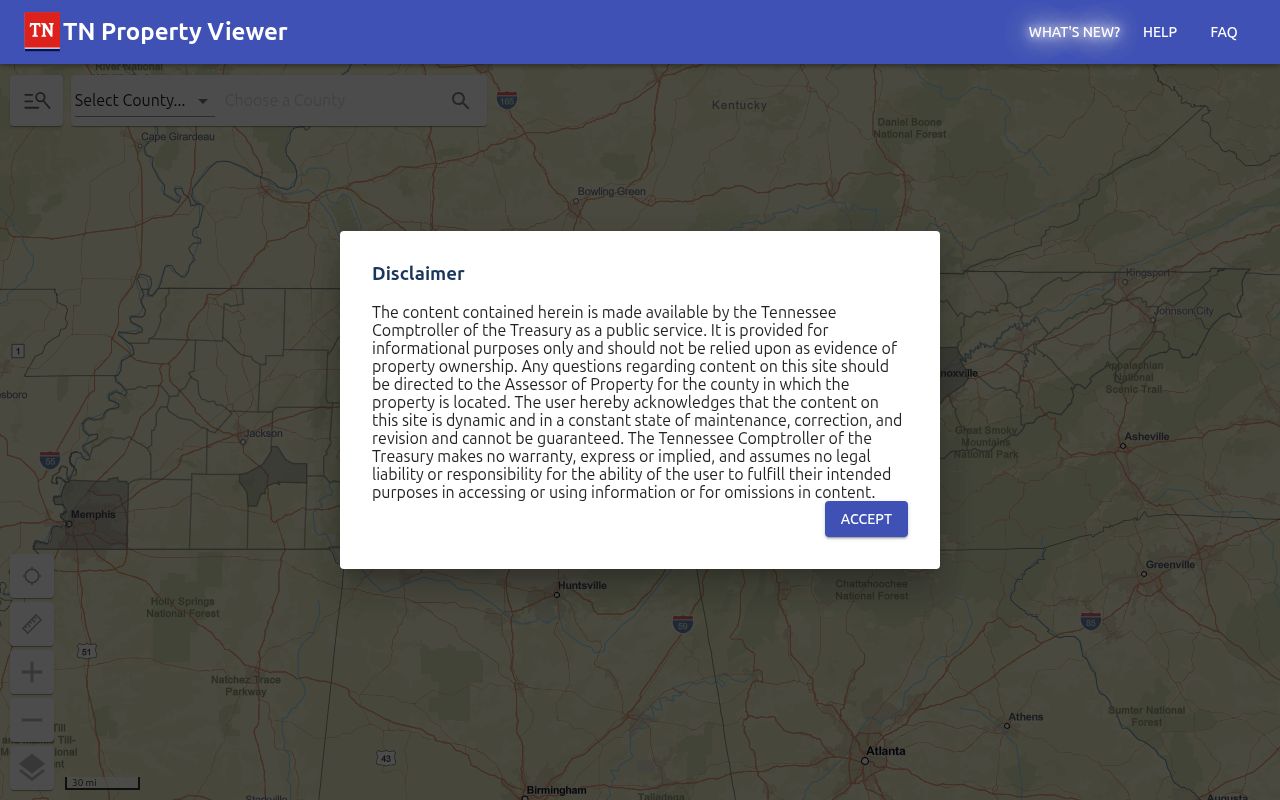
The research did not verify live TNMap controls, layer-toggle labels, parcel-click fields, or any adjacent-parcel selection tool. Use a Columbia map as navigation to the parcel identifier and confirm the result in TPAD and the deed index.
Columbia Street Directory Deed Chains
The Register of Deeds is the ownership-history layer behind a Columbia street search. Start with the current TPAD owner and legal description, then locate the owner as grantee in the purchase instrument. Read the grantor, recording date, consideration when visible, legal description, prior reference, and adjoining owners. Search the grantor as an earlier grantee to move backward. A familiar street number may disappear in older deeds, so subdivision, lot, block, tract, metes-and-bounds, and adjoining landowner references carry the chain.
Maury County’s Register of Deeds page links the paid current TitleSearcher route and office access.
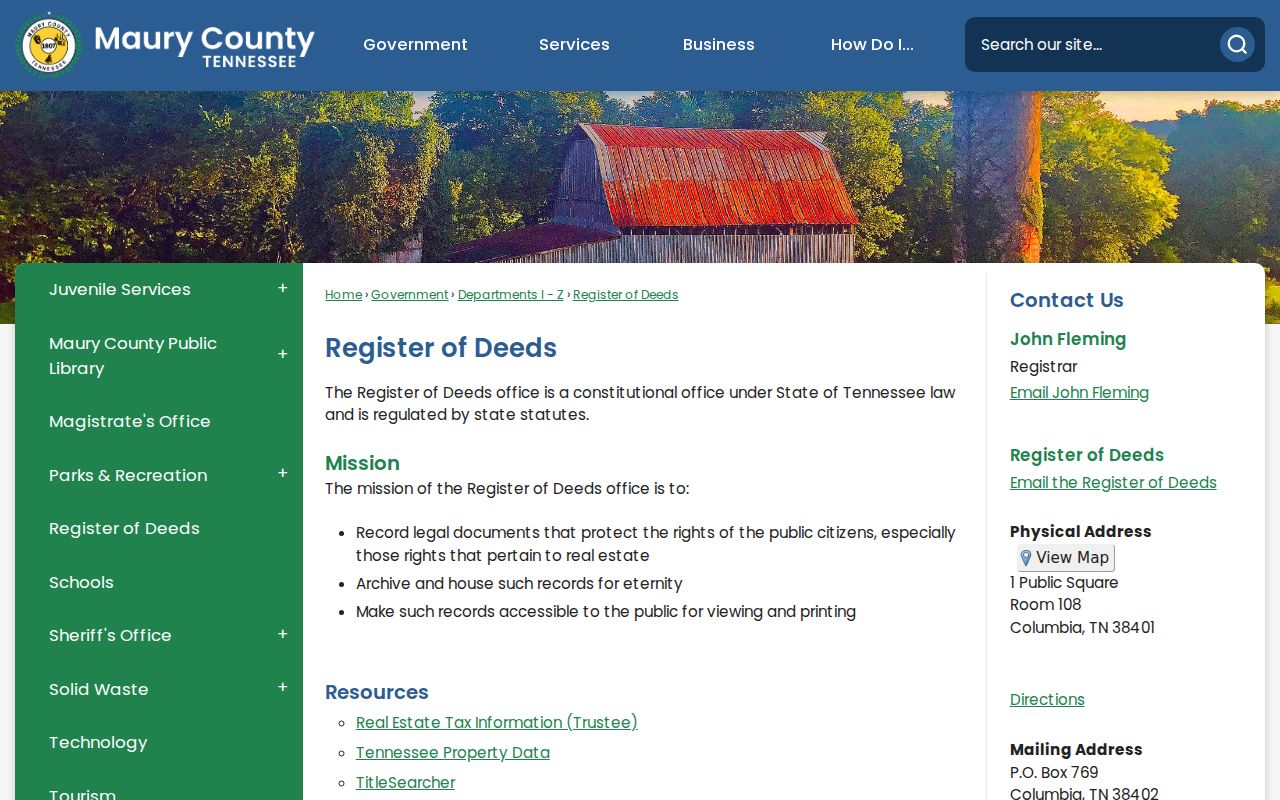
The historic alternatives are unusually deep. Direct and reverse indexes run from 1807 or 1808 through 1905 at Maury Archives and on TSLA microfilm. Digital Maury collections contain 12,566 deeds from 1807-1843, more than 16,000 from 1843-1877, and more than 11,000 from 1878-1891. That count makes the deed index a powerful street-history lead, not a substitute for the instrument itself.
Columbia Street Permits and Cases
Columbia One Stop adds a permit and code-record layer to the street directory. Its basic search accepts street address, licensed contractor name, license-holder name, reference code, or permit, license, or case number. Enter only house number and street name at first. The city’s instructions say to omit city, state, ZIP, apartment, and suite, then add a unit on the next screen. A free account is required for advanced searching by description keywords, Council District, project types, and application-date range.
One Stop can return address-keyed construction, alteration, planning, or code activity and can export up to 200 results. The Code Enforcement map is described as showing open, resolved, or under-investigation violations for the previous two months. A permit applicant, license holder, or case name is a role in that record. It is not proof that the person owns or lives at the Columbia address.
Note: If an address does not resolve in One Stop, use the city’s legal-address assistance rather than adding a ZIP or forcing a postal-format variation.
Columbia Records Searchable by Street
Address-keyed Columbia records fit together because the address, parcel identifier, and legal description overlap without being identical. The coverage table shows the documented route for each record set. The voter tool is intentionally narrow: GoVoteTN accepts an address and ZIP for polling and district information, but it does not advertise a public result listing every voter on a street. Maury Election Commission controls fuller voter-file access under the voter statute.
| Address record set | Columbia or Maury keeper | Street connection | Access channel |
|---|---|---|---|
| TPAD property roll | Maury Assessor and Comptroller | Owner, mailing and situs fields, parcel, value, sale, building details | Free online search or assessor office |
| GIS parcels | TNMap and Columbia GIS | Parcel context, boundaries, districts, street relationship | Map view; GIS data request may carry a fee |
| Recorded deeds | Register of Deeds, Archives, TSLA | Transfer, legal description, grantor and grantee | TitleSearcher, counter, historic index, or microfilm |
| Voter lookup | Tennessee and Maury Election Commission | Named registration, district, polling information | Name and birth lookup; no street-wide roster |
| Permits | Columbia One Stop | Address, applicant or license role, project status, documents | Free basic search; account for advanced search |
| Code cases | Columbia Code Enforcement and One Stop | Recent address violation status | Map and portal; two-month map note |
| Directories | Maury Library, Archives, TSLA | Dated household, address, and occupation clue | On-site, catalog, database, or microfilm |
| Sanborn maps | Library of Congress | Structure, street layout, material, and use date | Free digital scans |
The strongest Columbia street directory result preserves all three keys: the street or situs address, the TPAD control-map/group/parcel identity, and the deed’s legal description. That makes it possible to revisit a record even when one label changes.
Columbia Street Directory History Clues
For past Columbia streets, Maury Archives vertical files include houses and communities. Directory leads include 1925, 1948, 1950, 1953, 1956, and 1958, followed by regional Polk volumes. Exact criss-cross years were not located, so use a street search as a lead, then verify a name in the alphabetical portion of the volume. Nearby intersections and alternate street spellings are useful when a number does not match a modern tax record.
- Parcel
- The tax-map unit that links a Columbia address to control map, group, and parcel identifiers.
- Situs address
- The physical parcel location, which differs from where a tax owner receives mail.
- Plat
- A recorded map or plan that can identify lots, blocks, and subdivisions in a deed chain.
- Criss-cross directory
- An address-arranged directory that points from a street to a dated household entry.
Sanborn maps add structure and street-layout context for Columbia in 1887, 1895, 1909, and 1914. They show built form, materials, and use, not a complete resident roster. The historical collections themselves belong in the Columbia city directory rather than in a modern address result.
Columbia Street Address Continuity
Official research did not verify one citywide Columbia renumbering year, a complete street-renaming list, or a historical readdressing map. It is safer to preserve the exact postal address, parcel ID, legal description, city-limit status, and ZIP than to assume a direction or number has always carried the same meaning. When the address trail breaks, compare Sanborn street geometry, historic-district maps, plats, and archive house files, then ask Development Services or Maury Archives for older address material.
Columbia GIS confirms that city limits, streets, and addresses are assembled from multiple sources. That is a reason to keep the assessor and deed identifiers with each street-directory note, not a reason to force an unsupported historical match.
Columbia’s five wards, historic districts, and city limits are useful civic overlays, but none is a substitute for a parcel boundary or legal description. A Columbia ZIP is postal geography, and a Columbia map layer can have a different purpose from an assessor record. For an address near a city edge, preserve the county, ZIP, parcel identity, and the source that supplied each detail. That simple record of provenance prevents a street-directory note from turning a map assumption into a fact.
Limits of a Columbia Street Directory
A Columbia street directory cannot show every person associated with a location. Public property records can name an owner, but non-owner household members may not be in any property record. Private utility and delivery records are not open street lists. Federal Driver’s Privacy Protection Act rules protect motor-vehicle address data. A protected Safe at Home address, a visitor, or a person receiving mail does not become a public street-directory result merely because a parcel can be found.
Lawful use. Columbia street and address records are for personal, civic, property, and family-history research. Do not use combined address clues to stalk, harass, intimidate, or harm another person.